Professional Aerial & Handheld LiDAR Solutions
We provide End-to-End Aerial as well as Hand Held LiDAR Solutions for complex environments, built for Precision and Performance.
We Stand for Precision,
Expertise, and Reliability

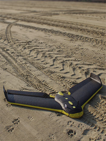













Consistent Surveillance & Land Survey Solutions!
Every new year brings new challenges & changes, the area you mapped last summer might have changes in the terrain such as deforestation, swamps conversions, encroachments and elevation disturbances. Our solutions will help you to keep a track of your land up-to-date.
Why Choose Aerialair?
Modern infrastructure and land development demand precision. Our solution offers unmatched speed, accuracy, and cost-efficiency compared to traditional methods.
- Capture large-scale terrain in hours not days
- High-resolution models with centimeter-level accuracy
- Data delivery within 24–48 hours, ready for analysis, planning, or design workflows straight to our cloud platform.
- Ideal for mining, construction, land surveying, and asset inspection
Unlock faster decisions with high-fidelity, geospatially accurate data.
How Our Process Works
We’ve engineered a streamlined mapping workflow to ensure speed, consistency, and accuracy:
-
Submit Your Survey Request
Register here and upload your area of interest (KML, SHP, or draw a polygon directly via our in-house platform). -
Site Mobilization & Data Acquisition
Our certified operators visit the site to capture aerial and terrestrial data with RTK/PPK precision. -
Data Processing & Analysis
Raw data is processed using photogrammetry and GIS tools in our hybrid on-premise and cloud server. -
Delivery of Results
Receive a ready-to-use dataset including Orthomosaic, DSM/DTM, 3D Mesh, and Point Cloud delivered via secure download or our cloud portal.
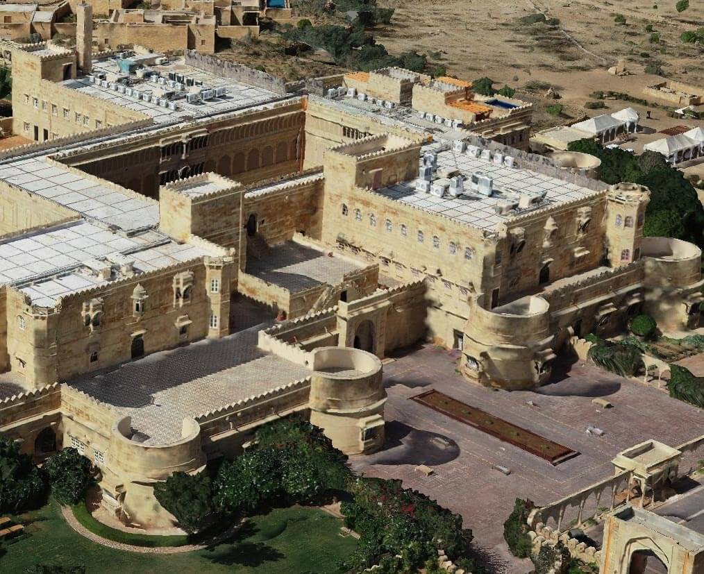
Our Tech Stack & Cloud Partners


Learn more about how we can help your industry
Our team has travelled to almost every state of India to carry out complex aerial survey missions. This experience allows us to organize quick management & decision making for any upcoming new projects.
0+
0+

Flying and building drones is an art, it has so much proven potentials already.

Through collaboration with our clients, our technology solutions has been very beneficial for geospatial world.

My team is always prepared for new survey challenges. It is like some new knowledge & experience waiting for us!
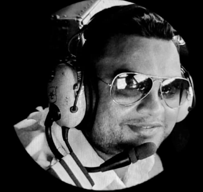
Drones have not only shaped the aviation industry but it has also overcomes many tactical challenges in India.