Railway Mapping & Monitoring
Elevate into a fully digital 3D maps & model for railway lines. Enabling quick monitoring & decision making.
Digital Maps
Orthomosaics
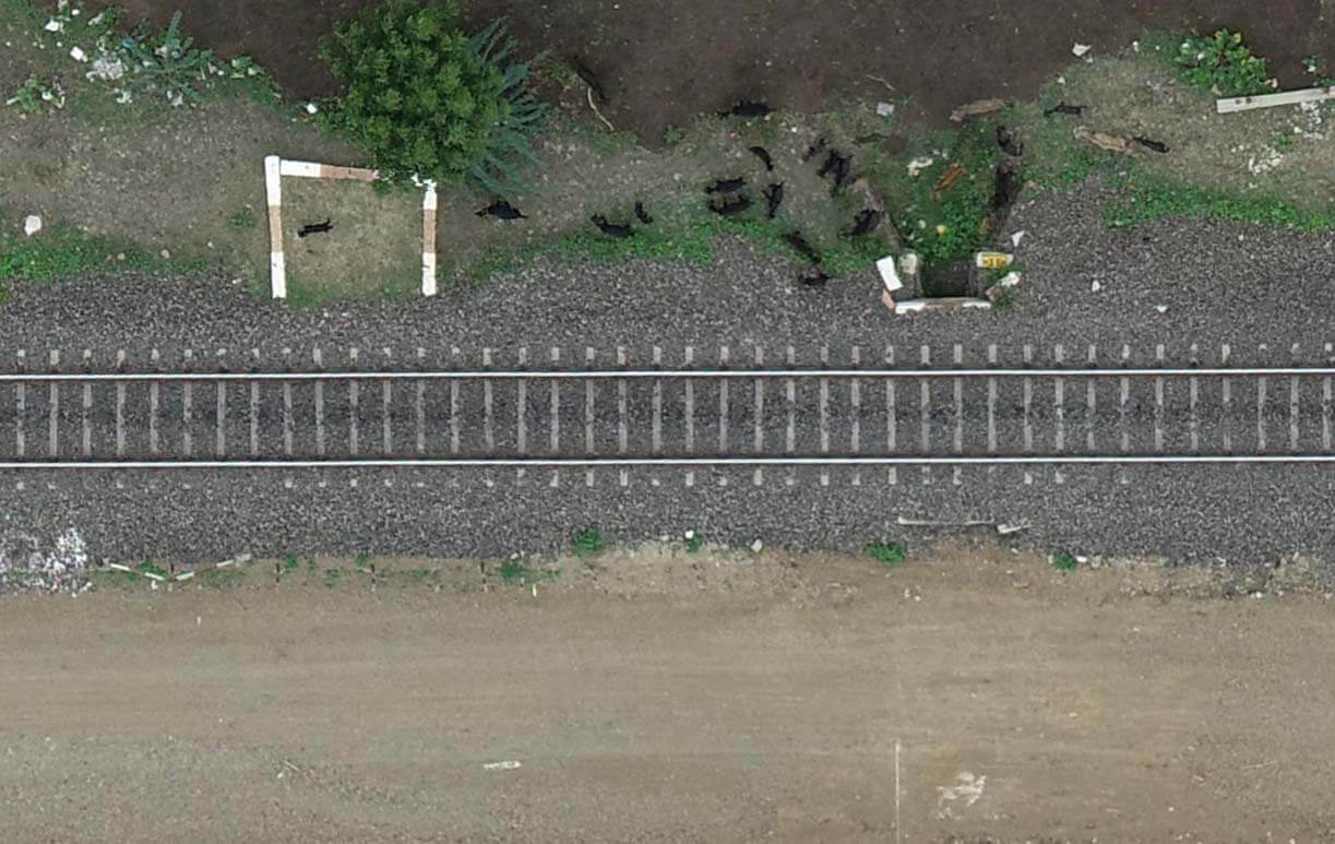
High resolution geo-referenced imagery & orthorectified mosaics.
- Resolution Up-to 2CM/Pixel & ability to spot rail fastening system
- Google Earth overlay supported
- Format: GeoTIFF, DWG & KML
Measurements
Measurements
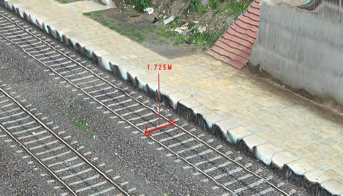
Acquire a complete set of 2D, 3D, and volumetric measurements of the rail's characteristics.
- Accurate 2D & 3D measurements is any units
- Cut & Fill volumetric data of Track Ballast Piles
- Outputs: PDF & Video Reports
Cross Sections
Profile Analysis
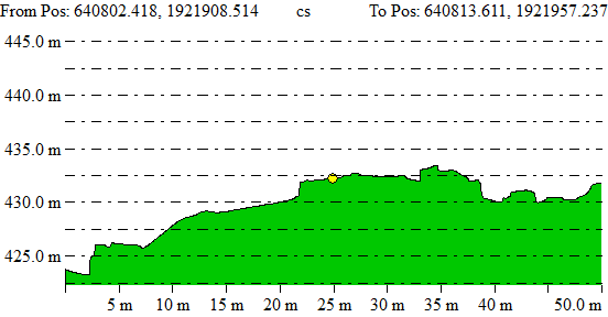
Cross sections or profiles of the entire rail corridor with any intervals are obtainable.
- 2D & 3D Cross sections
- Ability to develop cross section from equal intervals
- Outputs: AutoCAD DWG & PDF Reports
Topography Features
GIS Features
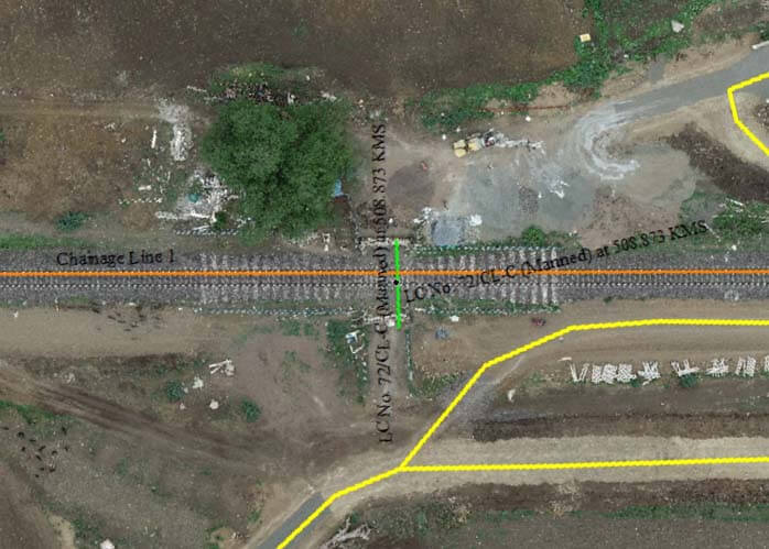
Topography features such as level crossing, ROBs, RUBs & waterways.
- Automated & manual marking of features
- Google Earth Overlay Supported
- Outputs: KML, SHAPE & DWG


