Interactive Web-GIS Platform
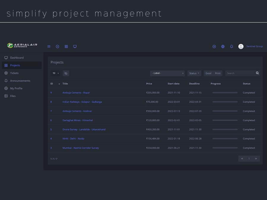
Introducing our innovative Drone-as-a-service solution – simplifying data management, analysis, and visualization. With top-notch security and user-friendly features, collaborate seamlessly with multiple users for unmatched project efficiency. Unleash the potential of cloud GIS tool technology today.

Project Management
1) Sync all your projects in simple platform
2) Cloud & mobile app access
3) Export and download project files

Analyse & Report
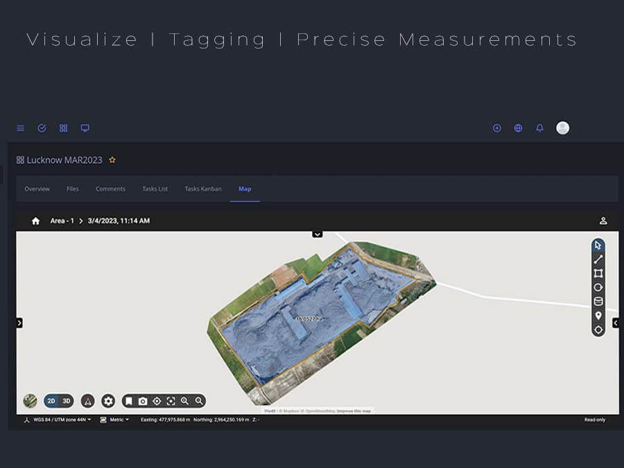
1) Visualize Orthomosaic & DSM with full details
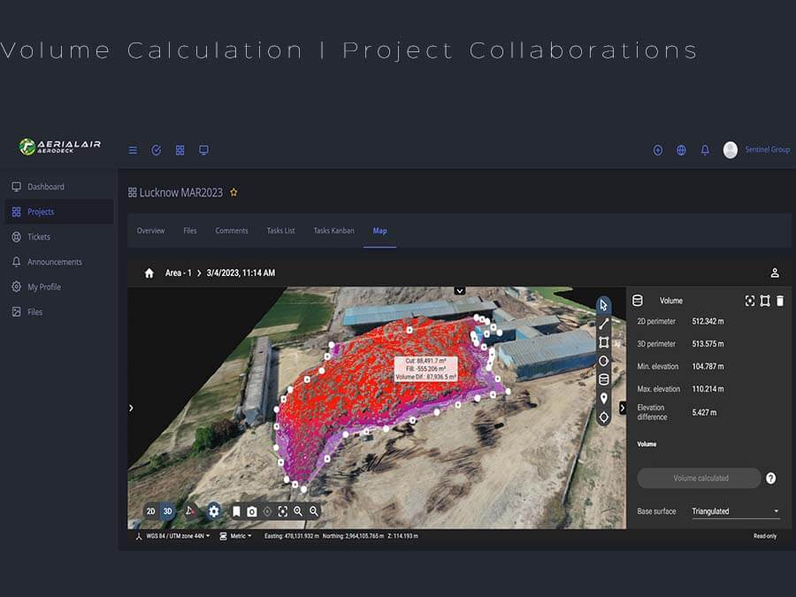
2) 3D Model viewer with measurements
3) Export and download project files

Store & Collaborate
1) Keep all your survey data in one place.
2) Instant download and web viewer
3) Collaborate with other users with agile approach.
How AeroDeck Works
With 3 simple steps turn your drone data into business insights!
-
1
Upload data
Upload images or orthomosaic to the Aerialair cloud or your locally deployed Aerialair On-Premises for higher data security.
-
2
Visualise, annotate and analyze
Visualize geospatial data, annotate objects manually or with AI detectors, measure and analyze data
-
3
Export and share reports
Export results in GeoJSON, CSV, PDF and other formats or share them with one click with colleagues and stakeholders
